


14,7 km | 18,8 km-effort


Utilisateur


Application GPS de randonnée GRATUITE
 SityTrail
IGN / Instituts géographiques
SityTrail World
Le monde est à vous
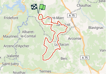
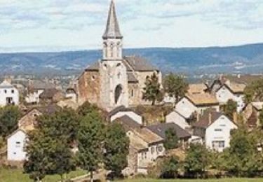
Randonnée V.T.T. de 35 km à découvrir à Auvergne-Rhône-Alpes, Cantal, Val d'Arcomie. Cette randonnée est proposée par tracegps.
Circuit très sympa à 15 km de l'A75. Facile, accessible aux jeunes, pas de difficultés particulières, idéal pour les familles qui veulent passer un après-midi tranquille. Seule contraint,e l'altitude autour de 1000m nécessite des vêtements longs et chauds en automne.

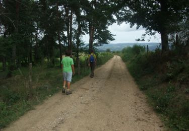
Marche
Marche
V.T.T.
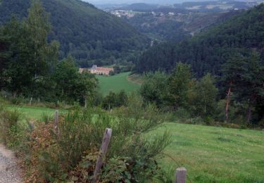
Marche

V.T.T.
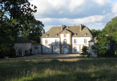
Marche

V.T.T.
Marche
Marche